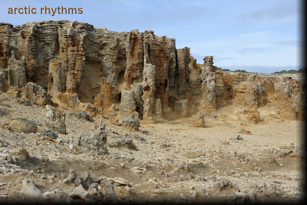
The Petrified Forest, Cape Bridgewater, Victoria
At the end of Blowholes Road, and just a short walk from the car park, is the Petrified Forest (38°22′52.97″S, 141°22′09.64″E) (Google Maps). Tourist information describes its formation from a Moonah tree forest, when it was smothered by a large sand dune. Water seeped through the sand forming a crust of sandstone on the outside of the trunks, decaying the organic matter, and leaving behind petrified trunks.