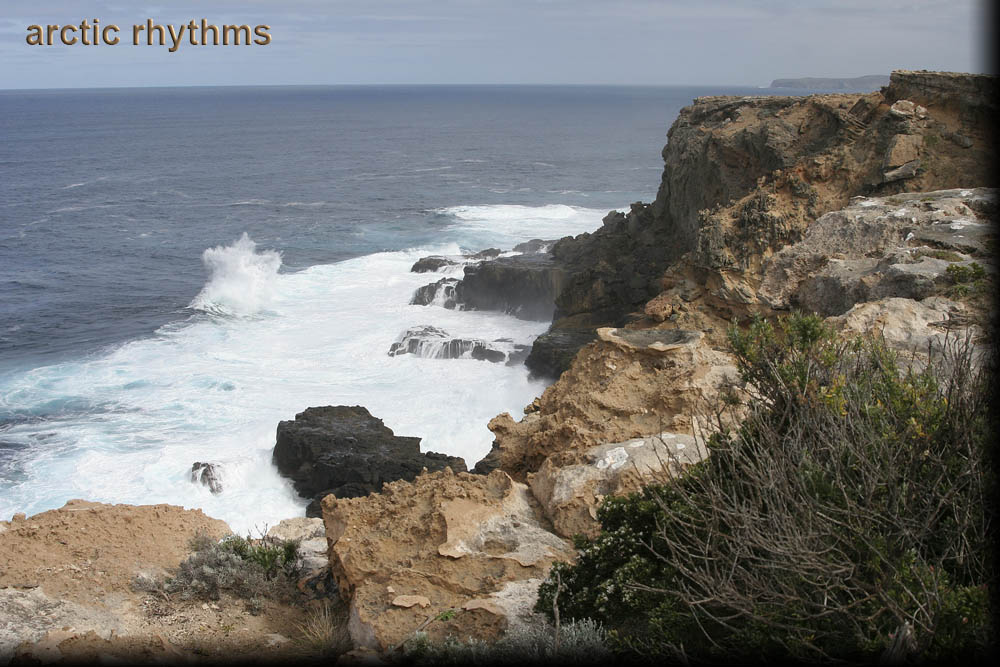
Cape Nelson, Victoria
I've headed west from the lighthouse, along the Great South West Walk. This is fairly close to the lighthouse, and I think this shot is aiming at 38°25′51.13″S, 141°32′26.45″E (Google Maps).
You can see Cape Bridgewater in the far right background. When you know that the tallest cliff in coastal Victoria (130m/430ft) can be seen there, it should give you some perspective.
In these cliffside shots, you'll see nearly black basalt at the base, the result of an ancient volcanic eruption. The lighter color is limestone which was deposited on top of the basalt.