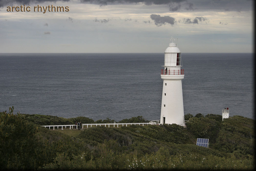
Cape Otway Lighthouse, Cape Otway, Victoria
This was a rainy day, so getting a shot or two in during the moments the rain stopped was a challenge. I missed the twin lighthouses in Warrnambool, the Upper and Lower Lady Bay Lighthouses, located between Griffiths Island Lighthouse and Cape Otway Lighthouse. That makes Cape Otway Lighthouse the fifth lighthouse from the west along the southern Victorian coast. I'm counting the twin lighthouses in Warrnambool as one, since they're located on the same property and are meant to be lined up to aid navigation into Lady Bay.
The water between Cape Otway Lighthouse (38°51′24.63″S, 143°30′44.44″E) (Google Maps) and King Island (39°50′12.79″S, 143°59′25.04″E) (Google Maps), slightly east of due south of here, is the western entrance to Bass Strait and is known as The Eye of the Needle (the area of many a shipwreck). Today the lighthouse itself is decommissioned, and has been taken over by an automated solar-powered light, seen here to the right of the old lighthouse.