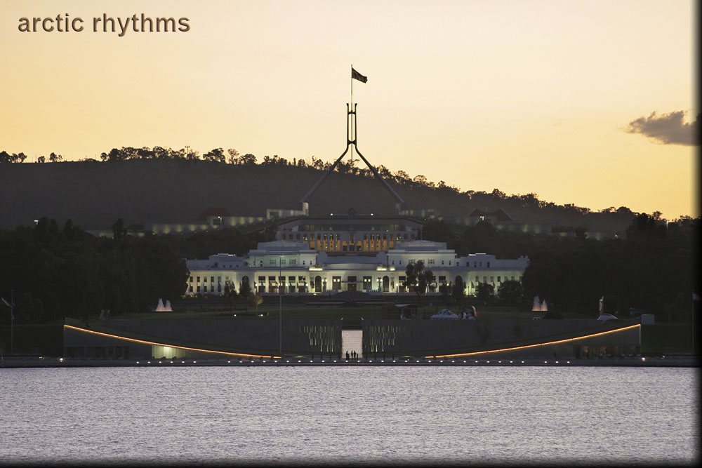
New and Old Parliament Houses, Canberra, ACT
I'm now standing up from the north shore of the Central Basin of Lake Burley Griffin, directly along the central axis of Parliamentary Triangle (35°17′29.52″S, 149°08′21.22″E) (Google Maps). Looking across the lake, the nearest spot along the water's edge is Commonwealth Place. There is a building under the swoop of lights (35°17′49.78″S, 149°08′03.22″E) (Google Maps); the left side is an art gallery and the right side is a wonderful restaurant, aptly named Waters Edge.
The next building seen is Old Parliament House (35°18′07.86″S, 149°07′47.14″E) (Google Maps), the bright white building. Behind Old Parliament House is the new Parliament House (35°18′29.44″S, 149°07′27.90″E) (Google Maps), atop which is a four-pronged flagpole. This flagpole is 81 meters high and symbolizes the axis mundi, marking the center of the nation.